This post is part of my 10 Ways to Teach Prehistoric and Ancient History series, which is part of 10 Days of Tips for Homeschoolers, hosted by Living Life and Learning.
I’ve always believed one of the best ways to encourage my children to appreciate, respect, and value all people and cultures is by teaching them about those people and cultures and sharing with them the glorious diversity that exists in our world.
When our girls were small and we lived abroad, it was very simple to hop on an airplane and experience new places and cultures. We visited 27 different countries in the 2 1/2 years we were abroad and while my girls don’t remember those trips, we’ve talked about it often, they review the picture books whenever they want, and ask a lot of questions.
Note: This post contains affiliate links meaning if you click any product link and make a purchase, Beyond Mommying may receive a small commission which is used for the upkeep of the website; however, it will not affect your purchasing experience in any way. Read more about our use of affiliate links.
But since moving back, it’s not as easy to immerse in various cultures. And so, we’ve had to mostly take on cultural learning through our homeschool program.
And while talking about other cultures and places is fairly simple, I’ve found that my kids don’t really get it without it being put in a world perspective. Which is one reason we always have our globe close at hand (we have a pedestal globe that can be taken off the base for easier viewing, similar to this one).
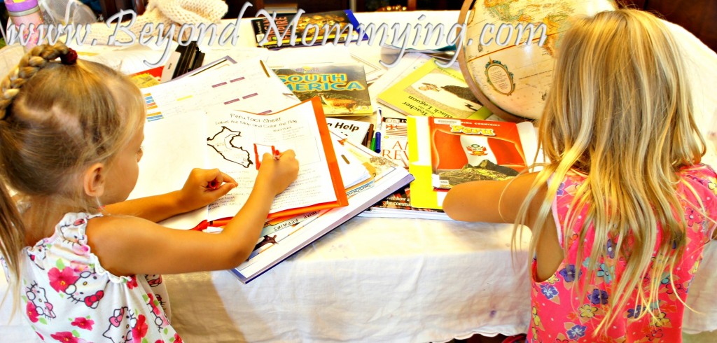
All of my kids can point out where we live and being able to then show them the place we are learning about so they can compare to what they know is super helpful.
I’ve also found that one super helpful way to make sense of world history is through exploring maps. I use a lot of historical atlases and map resources in our homeschool program including:
And more than just looking at maps, I think mapping activities are super helpful in history, which is why they are such a huge part of my South America Unit Study and why I add them whenever appropriate throughout the Big Ideas through History program.
What better way to learn about human migration out of Africa, than by mapping it?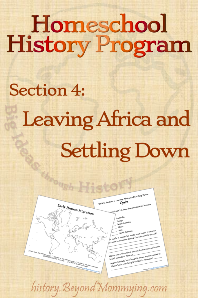
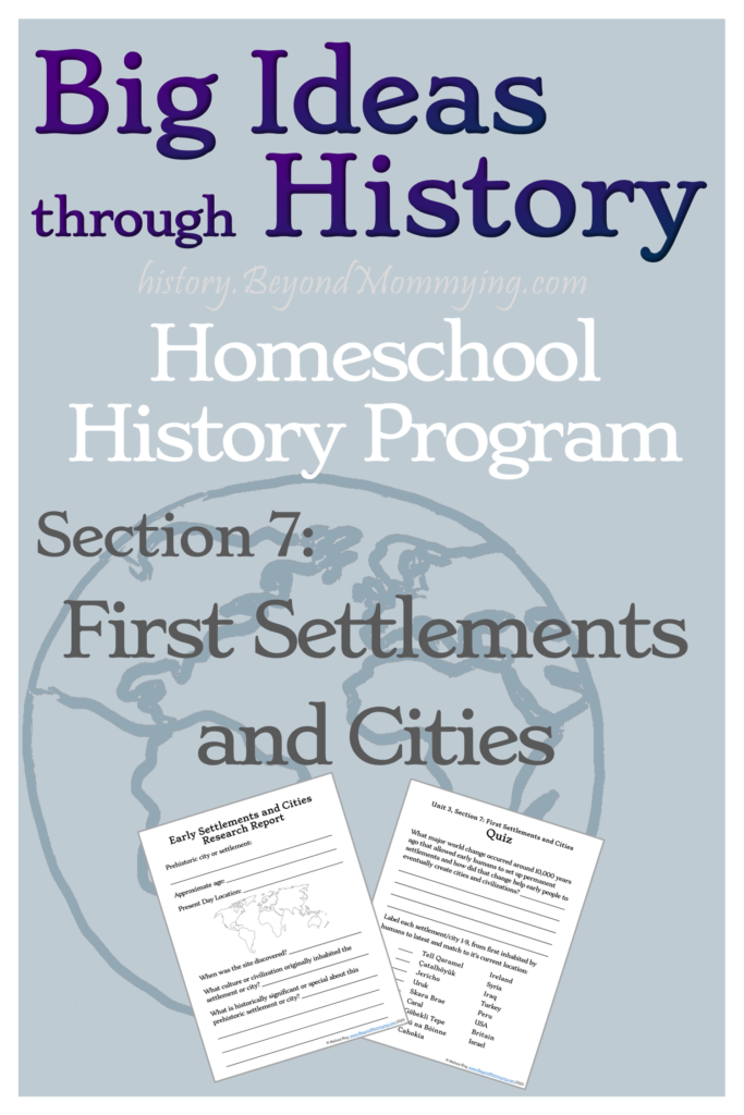
And when learning about the first settlements and cities, knowing where Mesopotamia, the Fertile Crescent, and the Levant are in the world today is super helpful in helping kids understand and remember history.
Big Ideas through History has been a huge undertaking, and as such, it’s a work in progress.
But, that means a great deal for you!
Because, for a limited time, you can get the Complete Part 1 (Units 1-10) for the cost of the first 3 Units currently available.
The price of Part 1 will continue to go up as new Units are added, but anyone who buys the complete Part 1 now gets access to all 10 units as they are added (see the current publishing timeline).
The final price of the complete Part 1 will be $60 (a 20% savings off the individual prices) but you can get the first 3 units now, and access to units 4-10 later this year, for only $22, which is a savings of over 70% for Units 1-10.
Pin it!